HuntStand: GPS Maps & Tools
GSM Outdoors
Downloads
1,000,000+
Source
Google Play
Advertisement
Click to download now, finish the installation quickly, and directly unlock the all-round experience
Advertisement
Screenshots
Click to download now, finish the installation quickly, and directly unlock the all-round experience
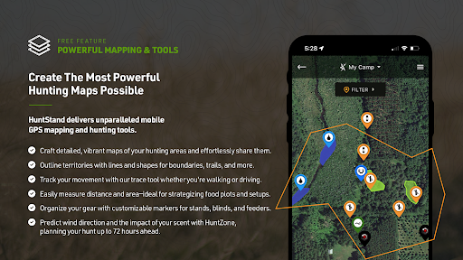
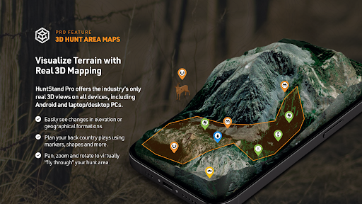
HuntStand: GPS Maps & Tools is a hunting map and field-navigation app from GSM Outdoors. It lets you view your position, record your route and mark places such as stands on a map. You can also draw and customize hunting areas, then share them with hunting partners or family. It is aimed at hunters who want to plan locations and keep field notes in one place, rather than use a general-purpose map alone.
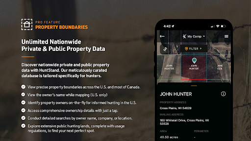
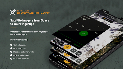
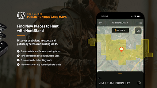
The app offers satellite views and map layers for public land and property boundaries across the United States and much of Canada. Some map and land-information features are part of HuntStand Pro, so the full set of details is not necessarily available without a subscription. Satellite imagery and property data can help with planning, but they are map references, not a substitute for checking access rules or confirming boundaries on the ground.
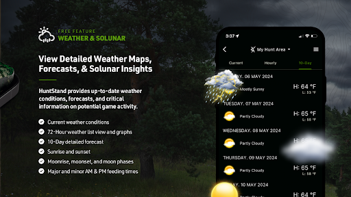
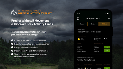
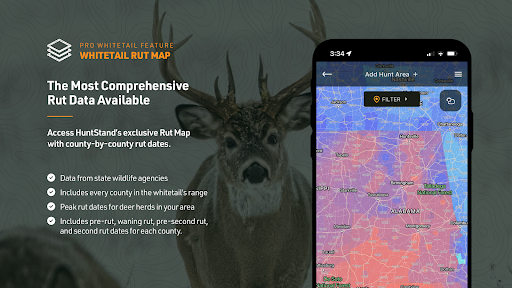
Other tools focus on timing and movement: HuntStand lists whitetail activity forecasts, a county-level rut map and wind forecasts that estimate scent direction. A digital rangefinder is also included. These features are most relevant to hunters tracking deer or choosing when and where to sit; they may be less useful if you only need basic location sharing or a simple map. The app’s usefulness will also depend on whether its maps and forecasts cover the area you hunt.
HuntStand has more than 1 million installs and a 2.44-star rating from 22,185 reviews. That rating is worth weighing alongside the feature list: it describes a substantial installed base, but does not tell you which tools will work best for your location or needs. Check which features are included in the free version and which require Pro before relying on a particular map layer or forecast.